Lot
210
Lot 210
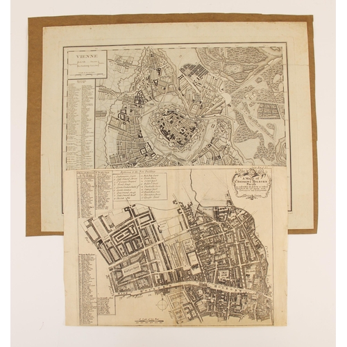
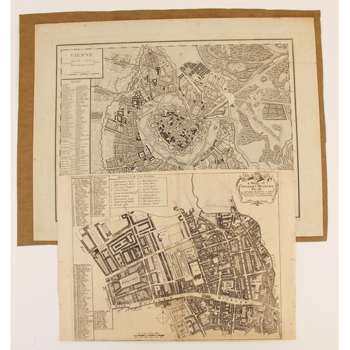
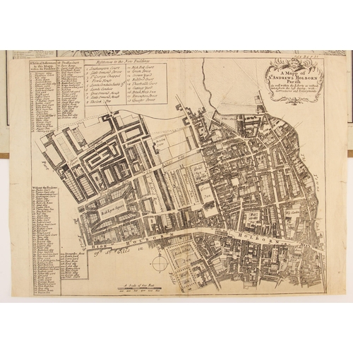
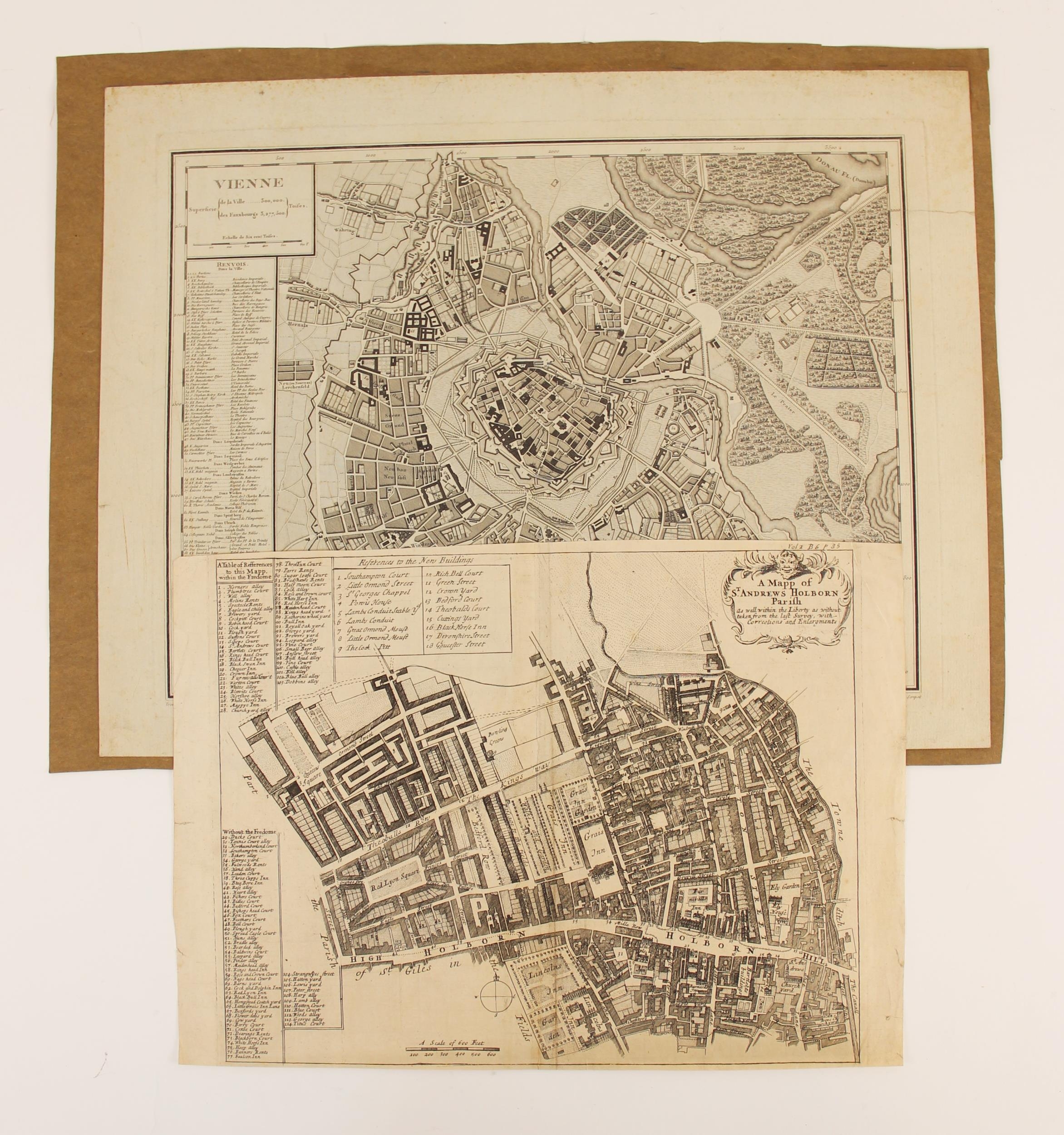
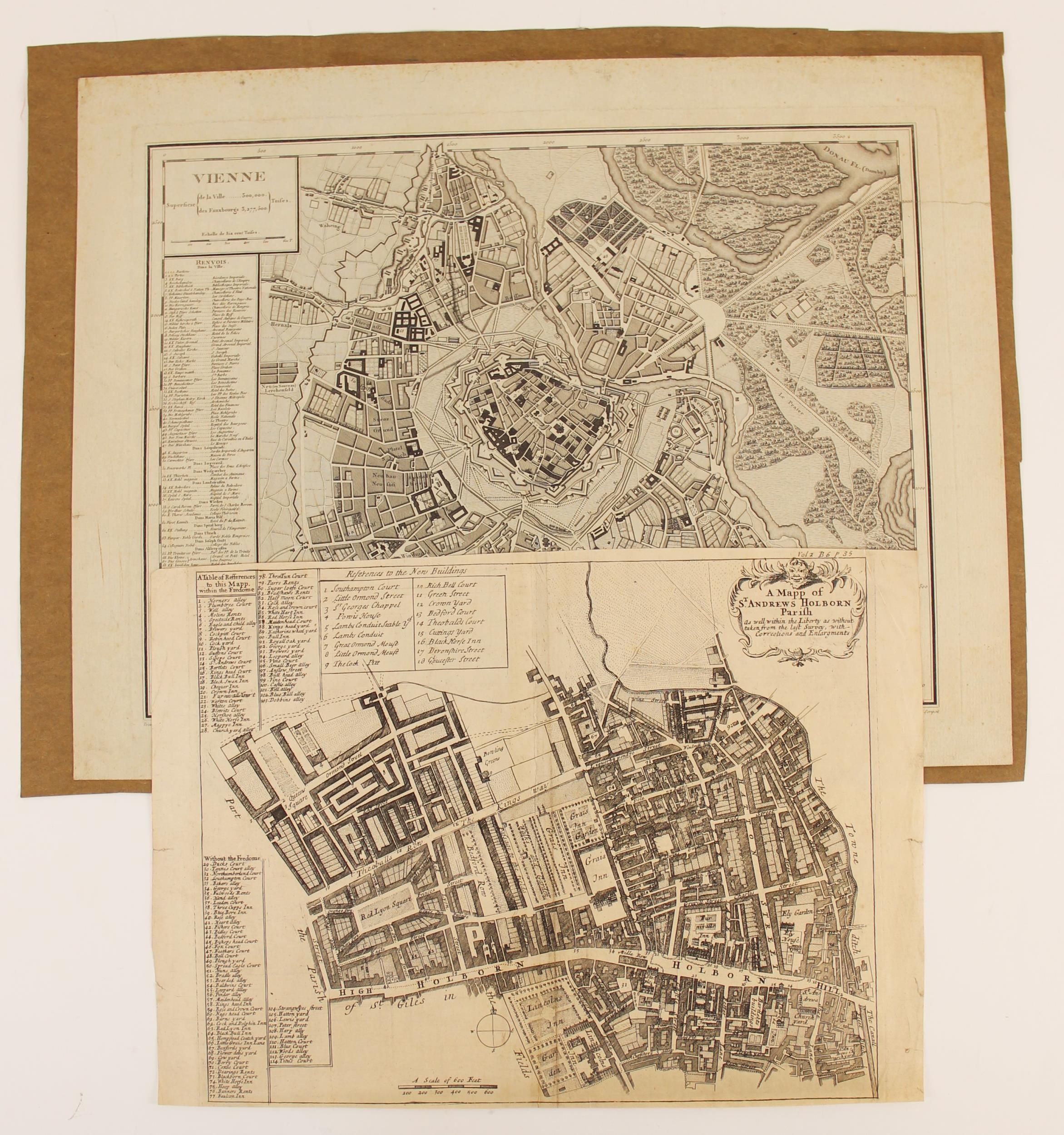
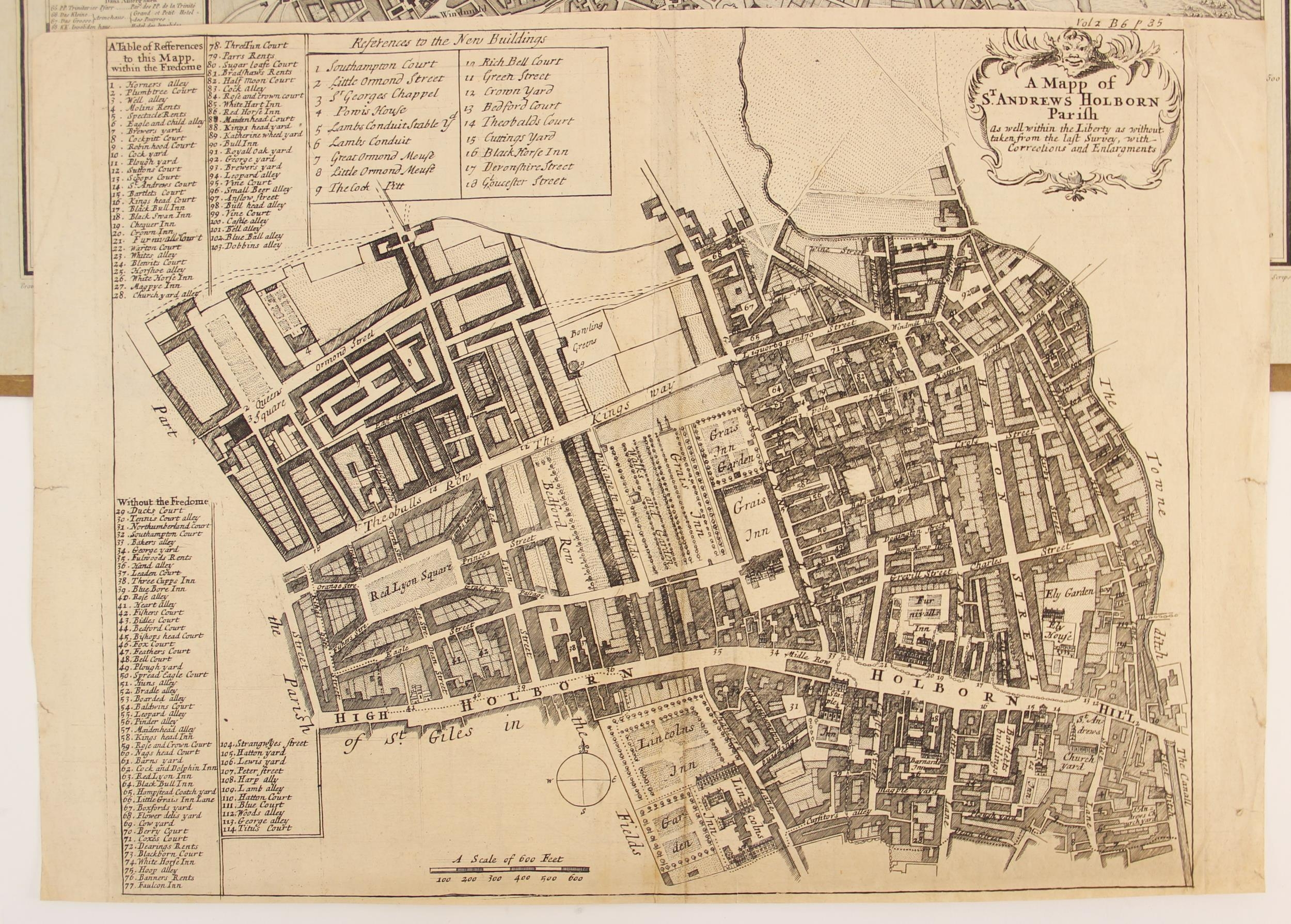
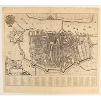
A MAPP OF ST. ANDREWS HOLBORN PARISH AS WELL WITHIN THE LIBE...


Estimate
£100 - £200
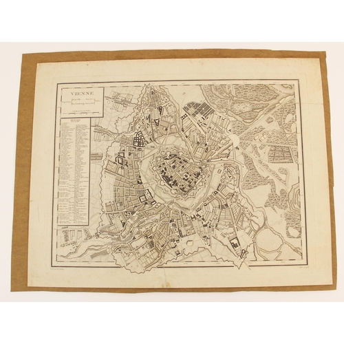
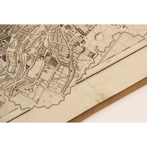
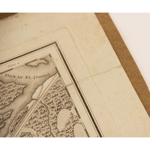
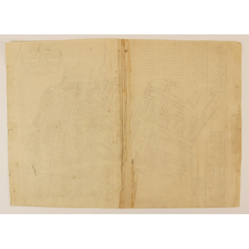
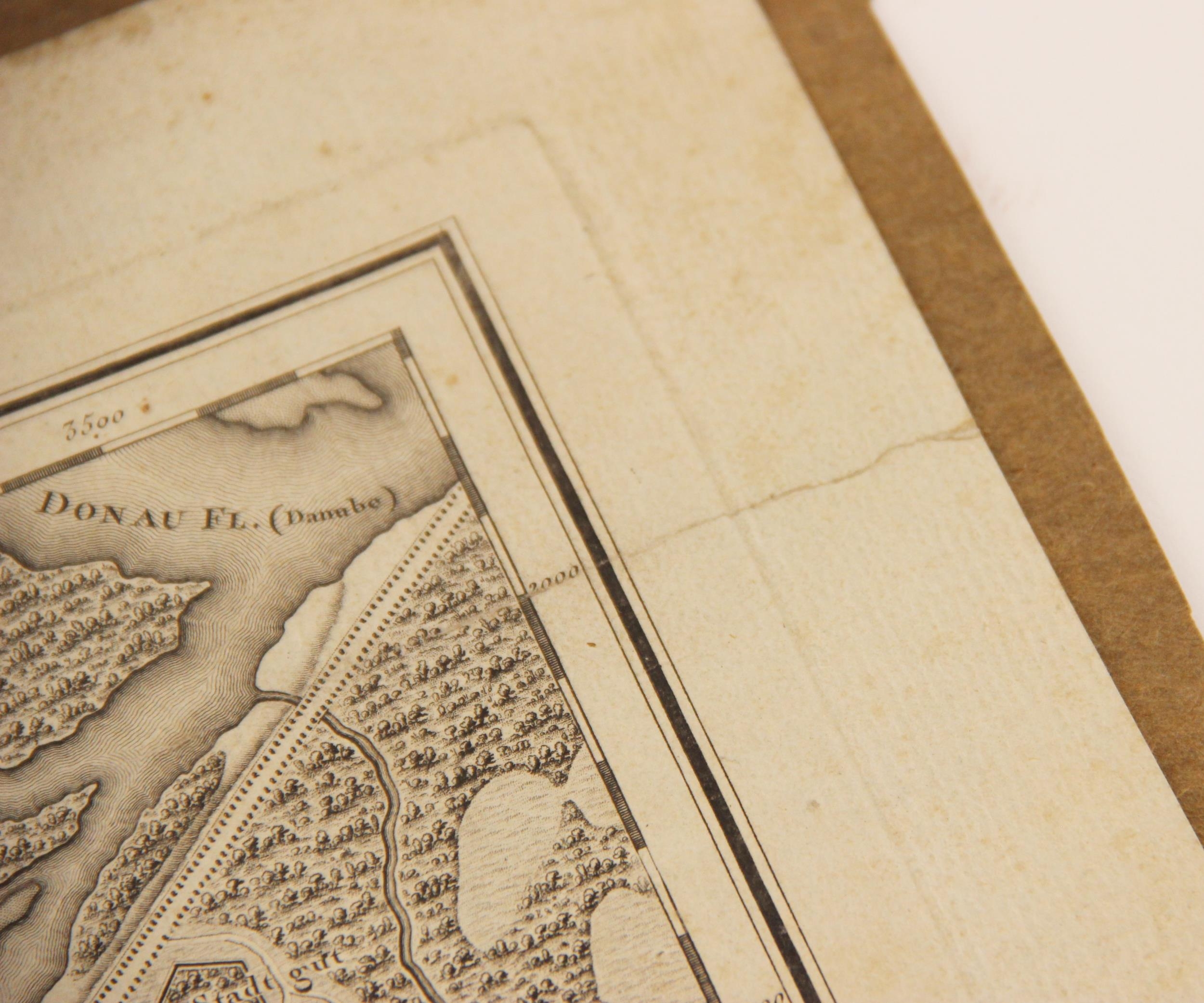
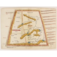
A MAPP OF ST. ANDREWS HOLBORN PARISH AS WELL WITHIN THE LIBERTY AS WITHOUT. TAKEN FROM THE LAST SURVEY, WITH CORRECTIONS AND ENLARGEMENTS, an uncoloured engraved map on laid paper depicting the parish with a table of references giving street names and landmarks, published by John Strype for the fifth edition of John Stow's "A Survey of the Cities of London and Westminster. Corrected, Improved, and Very Much Enlarged. to the Present Time" in 1720, blank verso, trimmed to plate mark top and bottom, 30cm x 37cm (the sheet 30cm x 41.5cm), with VIENNE, a further uncoloured engraved map on laid paper after Aubert depicting the city of Vienna, visible plate mark, 34.5cm x 45cm (the sheet 39.5cm x 51cm), blank verso, tipped in on later paper (2) (at fault)
Fees apply to the hammer price:
Room and Absentee Bids:
20% inc VAT*
Online and Autobids:
22.4% inc VAT*
Please see the auctioneers terms & conditions for more information
Other Lots in this Auction
Tel: 01948 800 202
The Joyce Building, Whitchurch, Shropshire, SY13 1RE.
© Trevanion & Dean Auctioneers, inc. All rights reserved.