Lot
509
Lot 509
Bartholomew (J.G.), THE SURVEY ATLAS OF ENGLAND & WALES, A S...
Hammer
£20
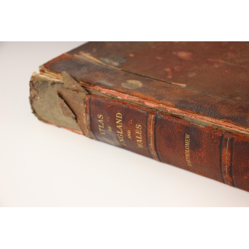
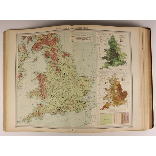
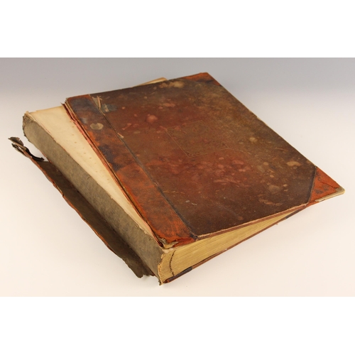
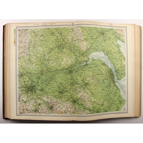
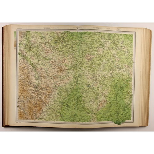
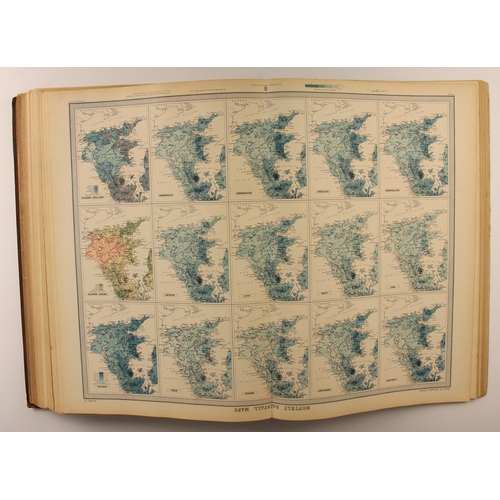
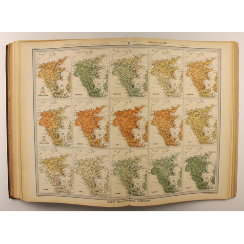
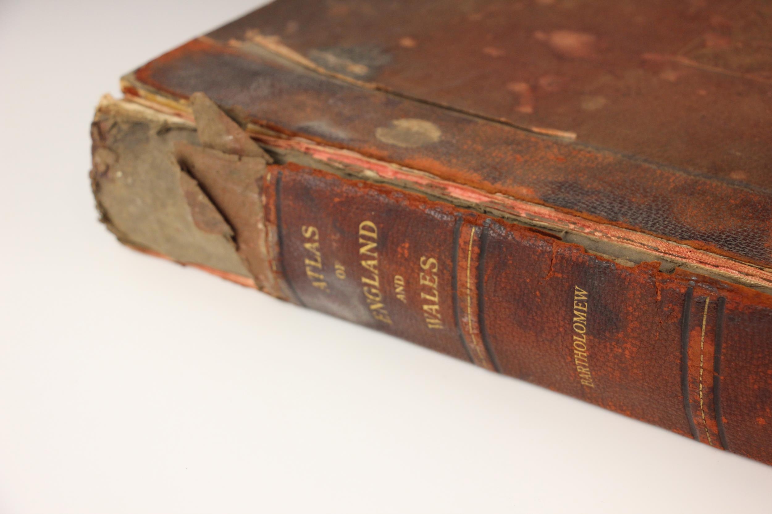
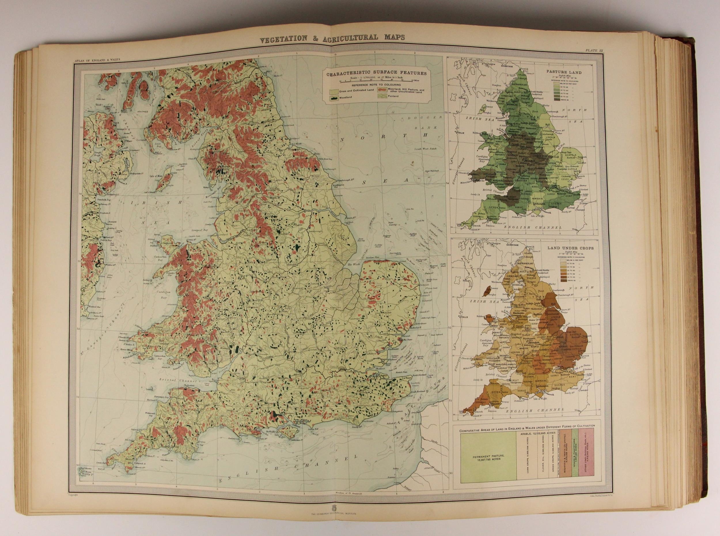
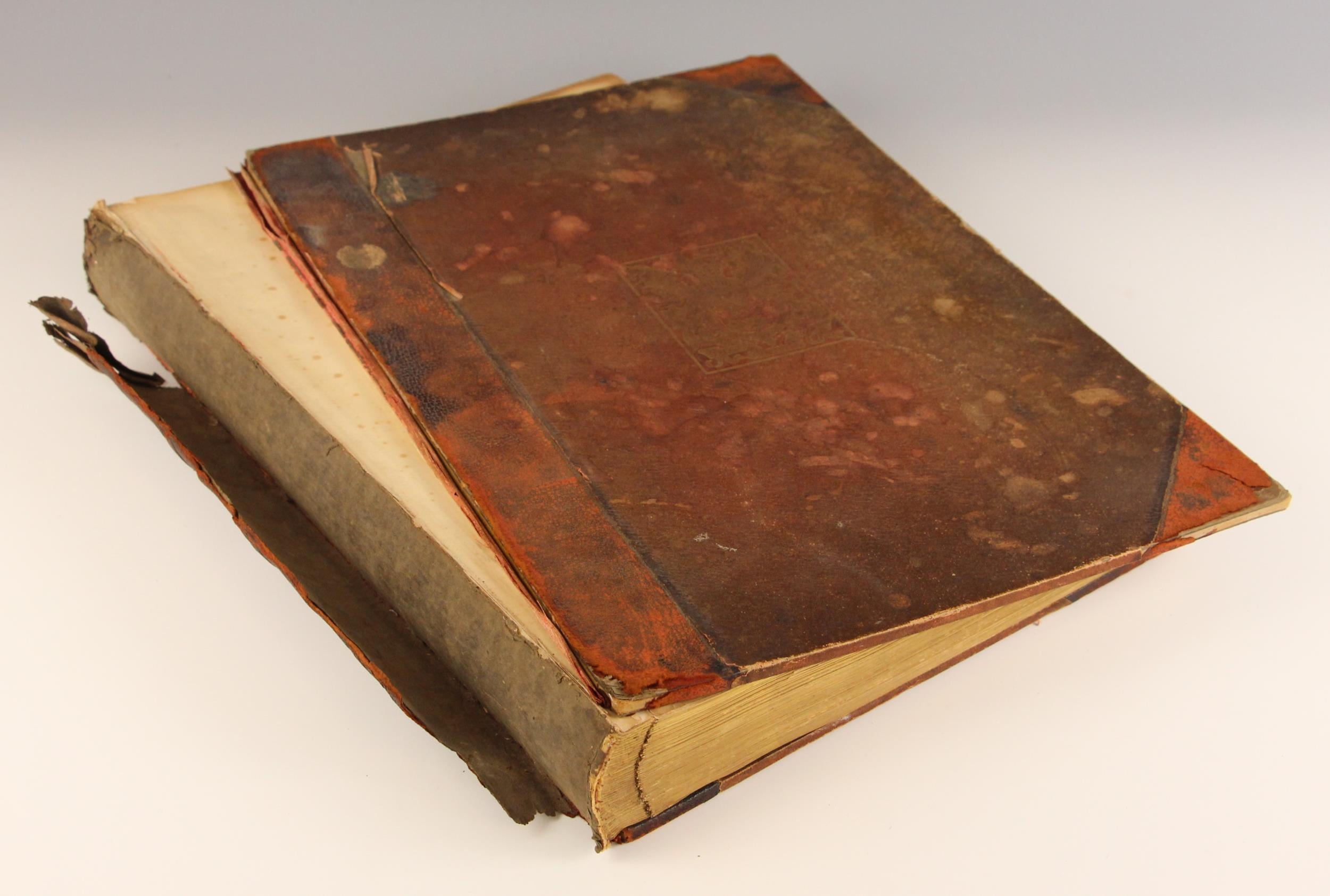
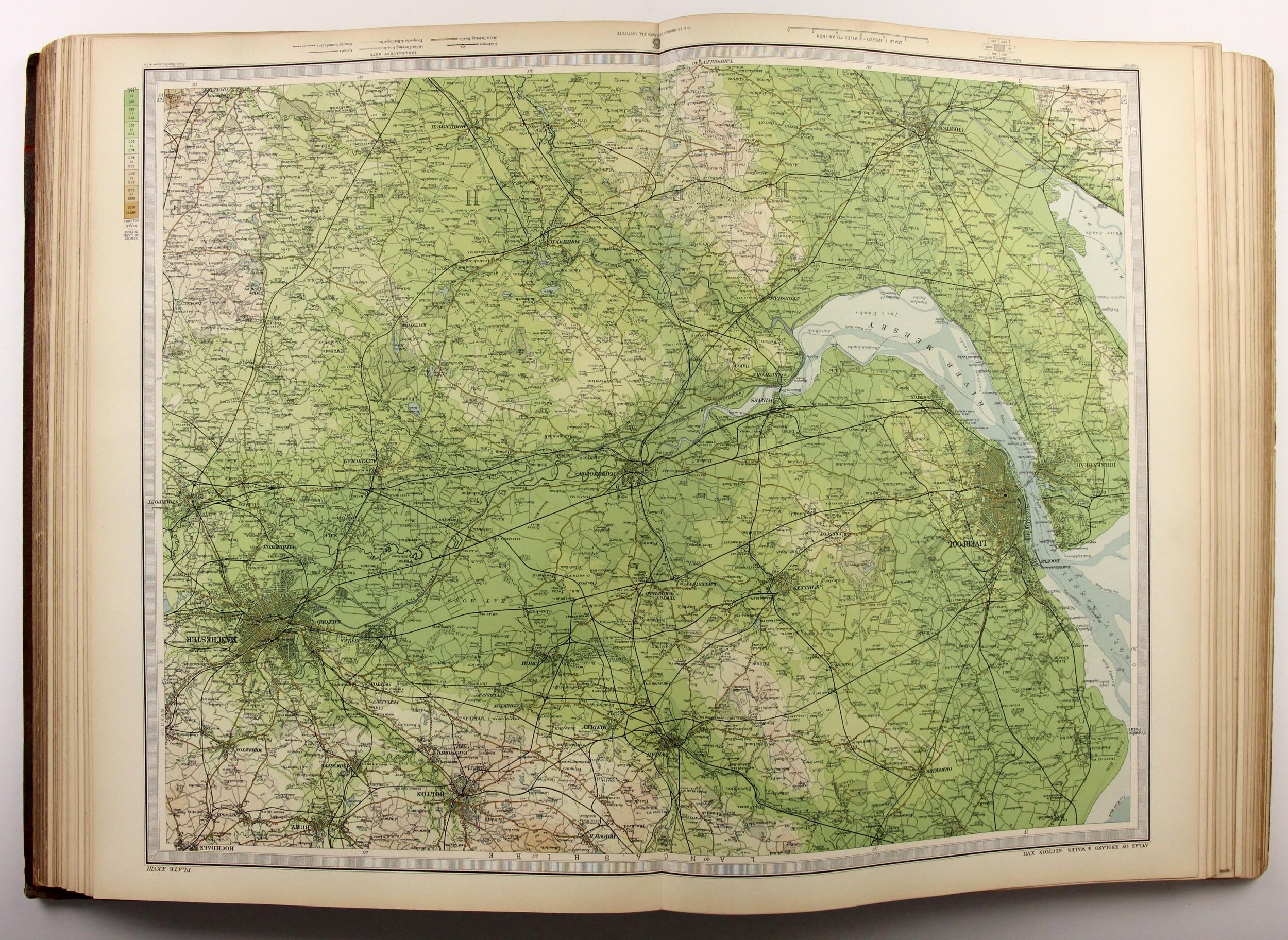
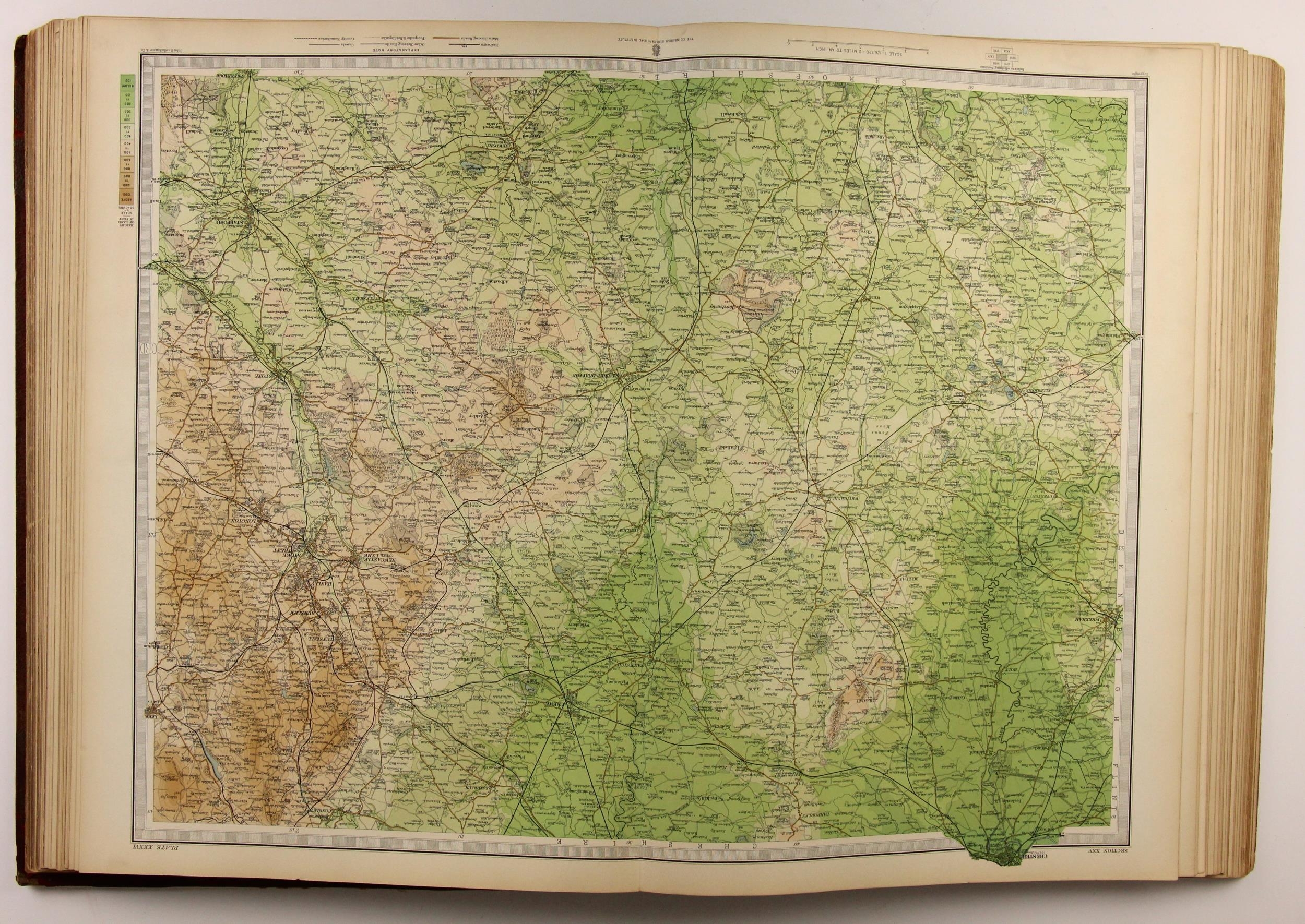
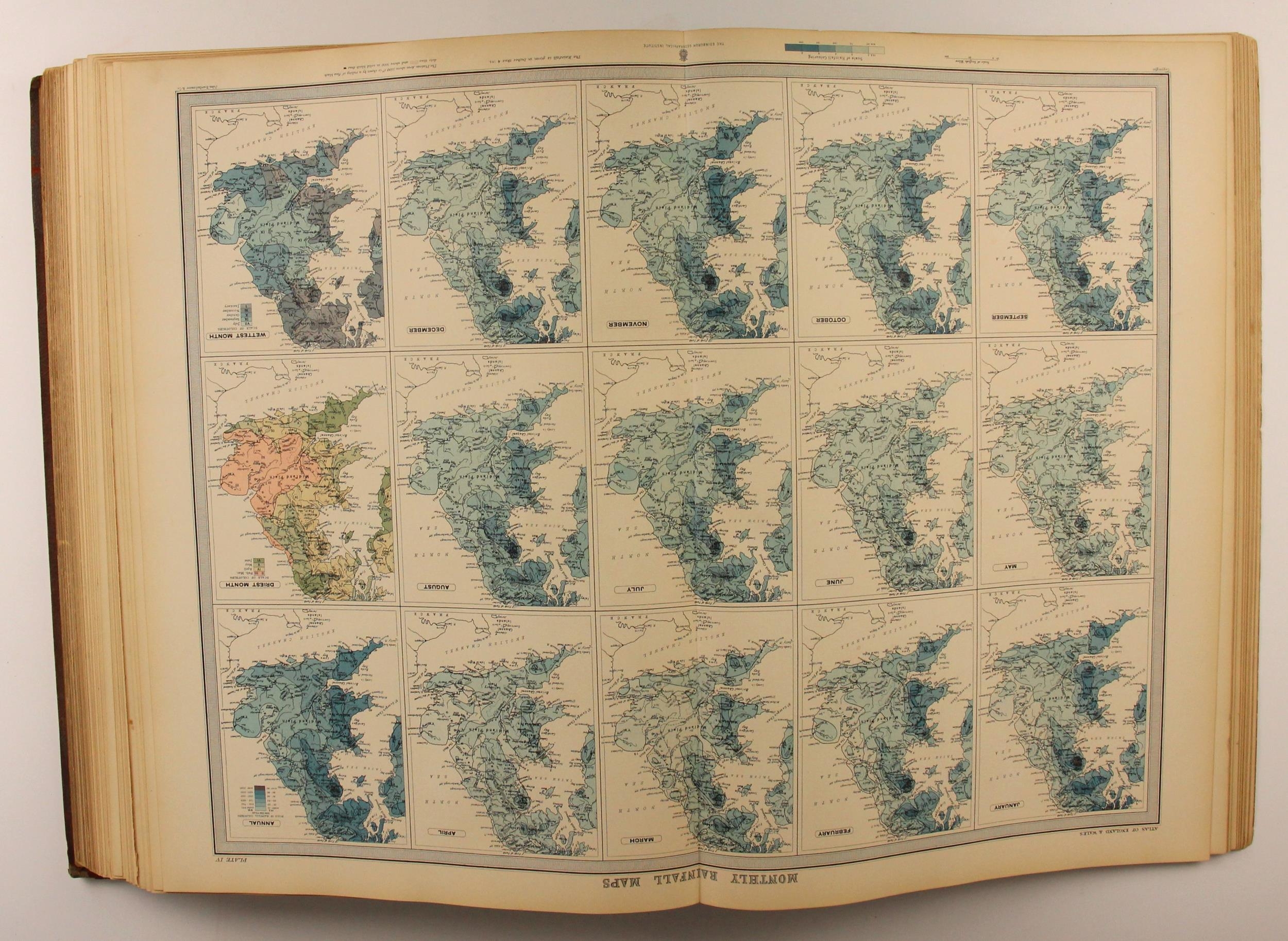
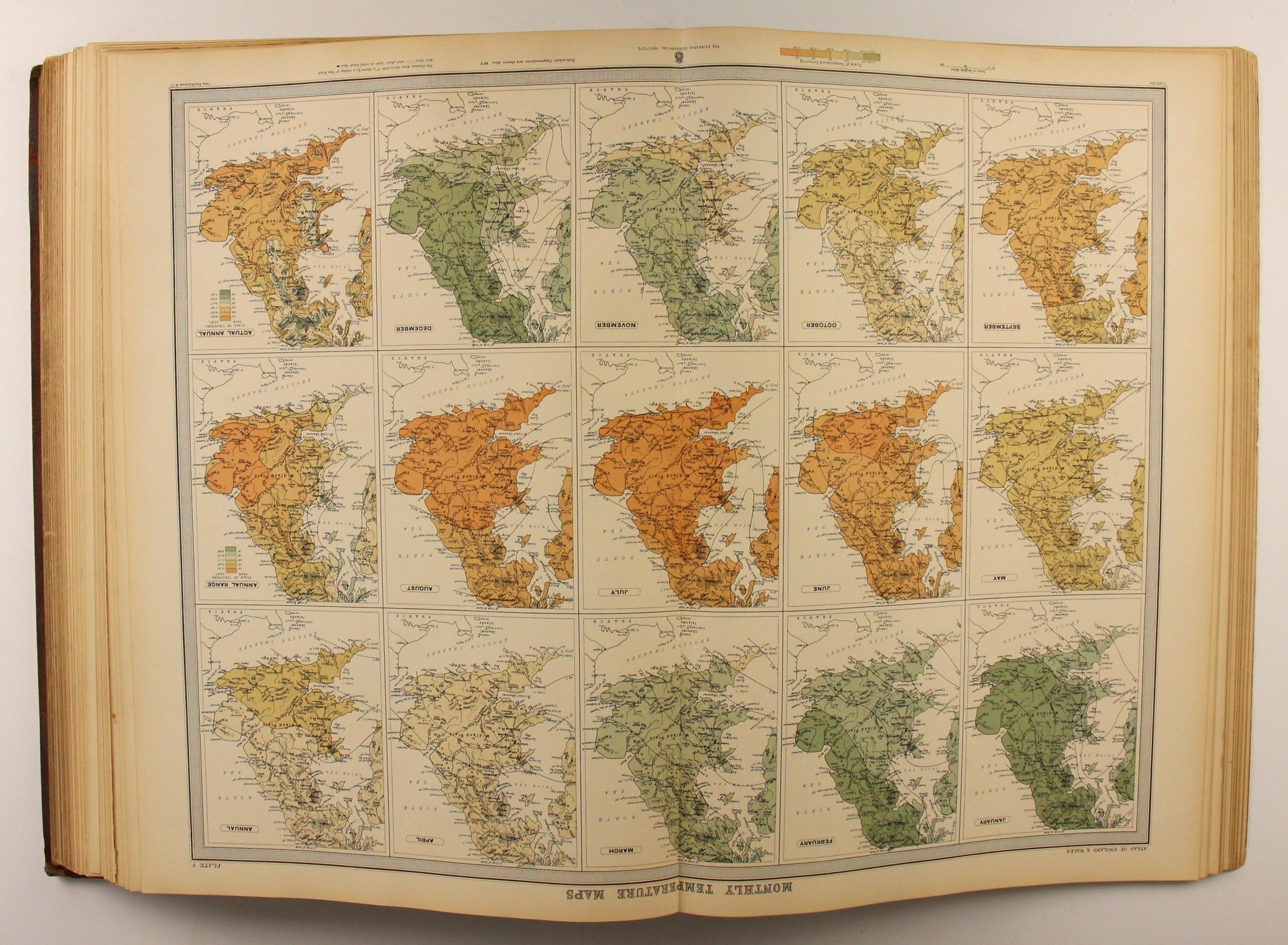
Bartholomew (J.G.), THE SURVEY ATLAS OF ENGLAND & WALES, A Series Of Eighty-Four Plates Of Maps And Plans, With Descriptive Text, Illustrating The Topography, Physiography, Geology, Climate, And The Political And Commercial Features Of The Country, 3/4 leather, red cloth boards, gilt embossed decoration to spine, marbled endpapers, drawn, engraved, printed and published at The Edinburgh Geographical Institute under the patronage of The Royal Geographicl Society 1903 (at fault)
Fees apply to the hammer price:
Online Bidding:
26.4% inc VAT*
Please see the auctioneers terms & conditions for more information
Other Lots in this Auction

Tel: 01948 800 202
The Joyce Building, Whitchurch, Shropshire, SY13 1RE.
© Trevanion & Dean Auctioneers, inc. All rights reserved.