Lot
215
Lot 215
A collection of eleven unframed continental, country and reg...


Estimate
£150 - £250
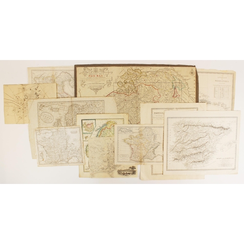
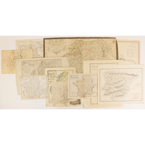
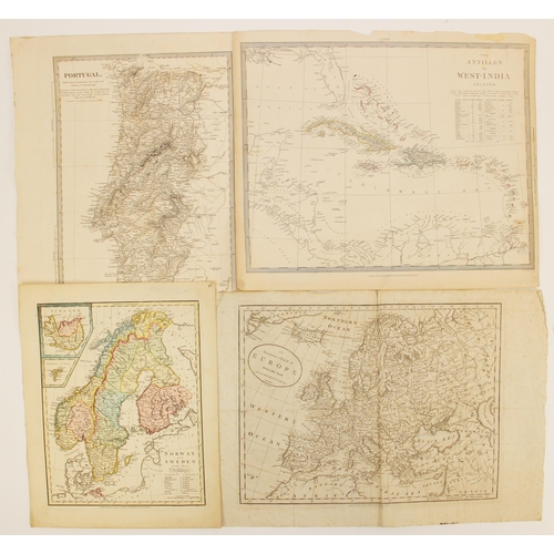
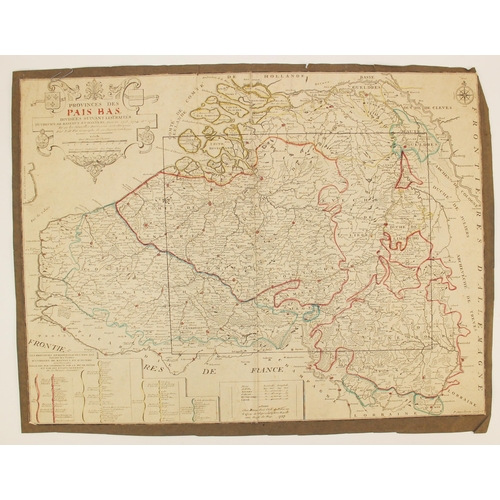
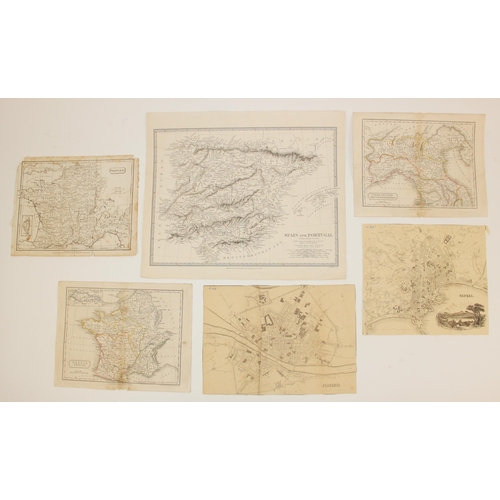
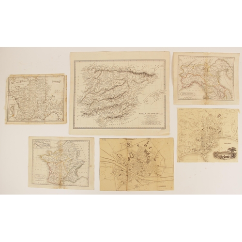
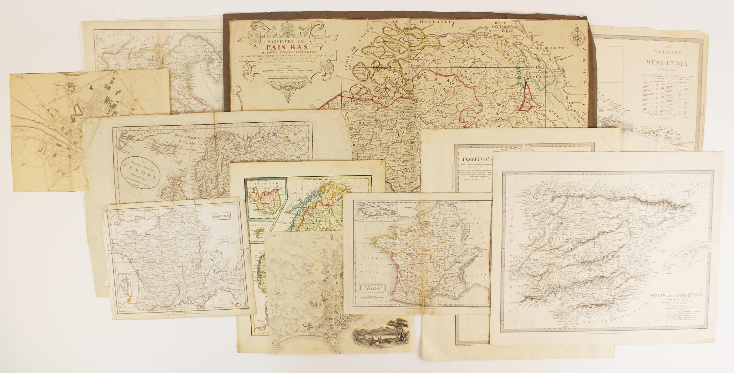
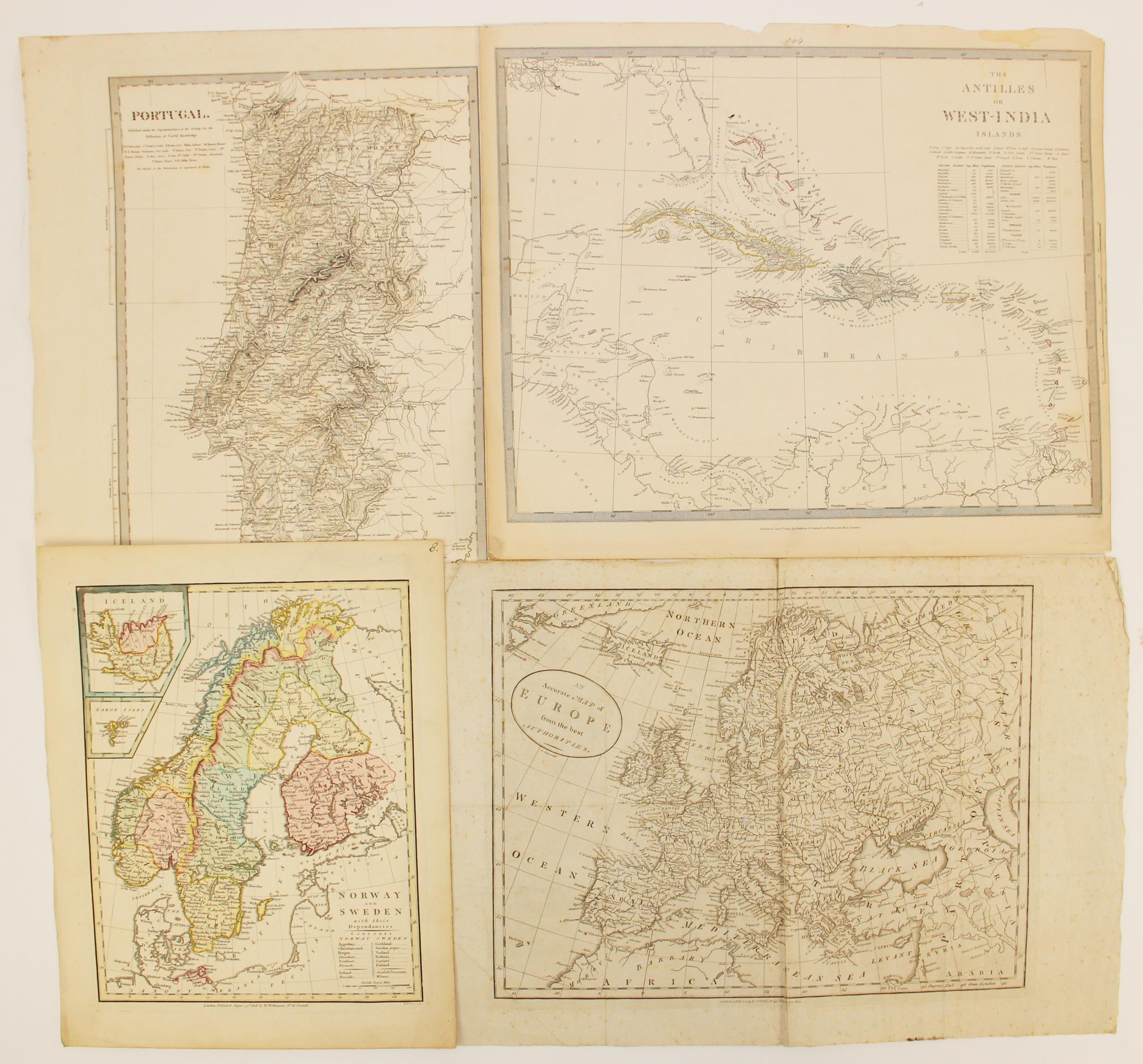
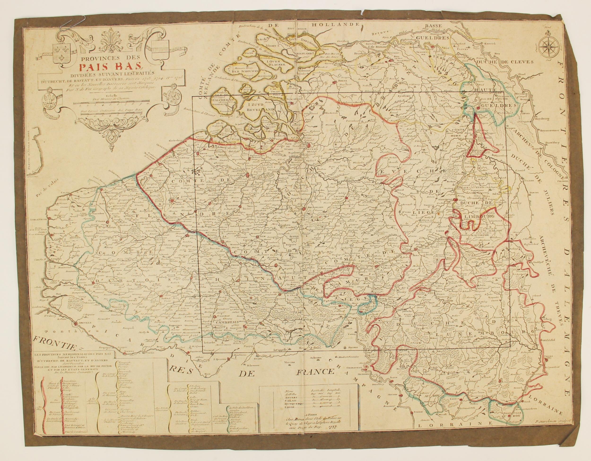
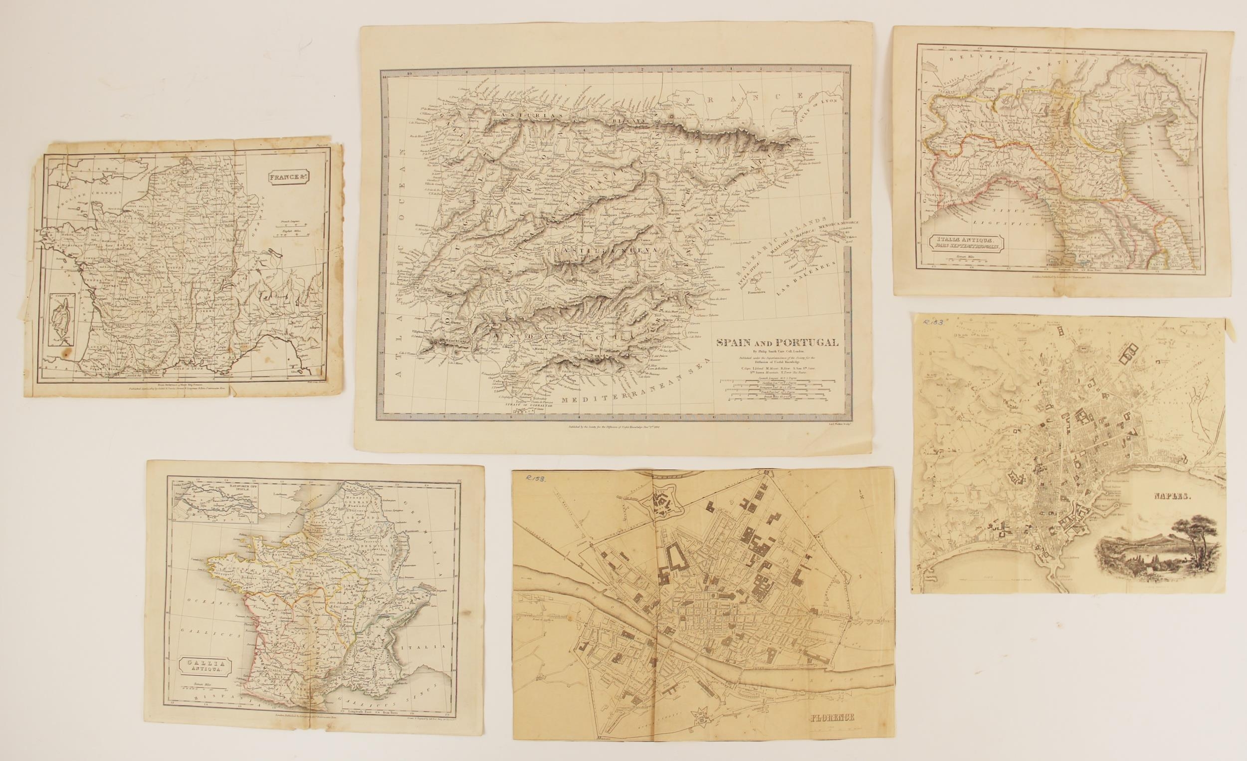
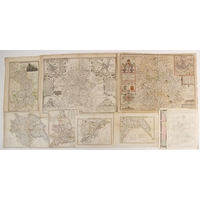
A collection of eleven unframed continental, country and regional maps, 18th century and later, to include: after Nicholas de Fer (1646-1720), PROVINCES DES PAIS BAS, DIVISEES SUIVANT LESTRAITES D'UTRECHT, DE RASTATT, ET DANVERS FAITS EN 1713, 1714 ET 1716, an engraved map on laid paper depicting the Low Countries, from Zeland and Brabant to Luxembourg and Artois, later hand outlined, the title cartouche with the arms of France, Austria, Brandenburg and the States General, published by Bernard, Paris 1737, trimmed to plate mark, 46cm x 61.5cm, tipped in on later paper; with after John Cary (1755-1835), AN ACCURATE MAP OF EUROPE FROM THE BEST AUTHORITIES, an uncoloured engraved map on laid paper, published by I Walker of Paternoster Row, London 1783, visible plate mark, 28.5cm x 36.5cm (the sheet 32.5cm x 48cm); with nine further later maps depicting Norway & Sweden, The Antilles or West-India Islands, Italy, France, Spain and Portugal (11) (at fault)
Fees apply to the hammer price:
Room and Absentee Bids:
20% inc VAT*
Online and Autobids:
22.4% inc VAT*
Please see the auctioneers terms & conditions for more information
Other Lots in this Auction

Tel: 01948 800 202
The Joyce Building, Whitchurch, Shropshire, SY13 1RE.
© Trevanion & Dean Auctioneers, inc. All rights reserved.