Lot
211
Lot 211
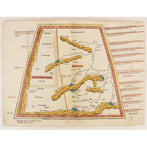
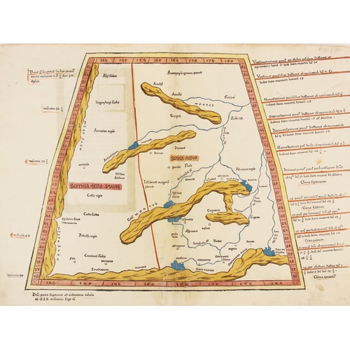
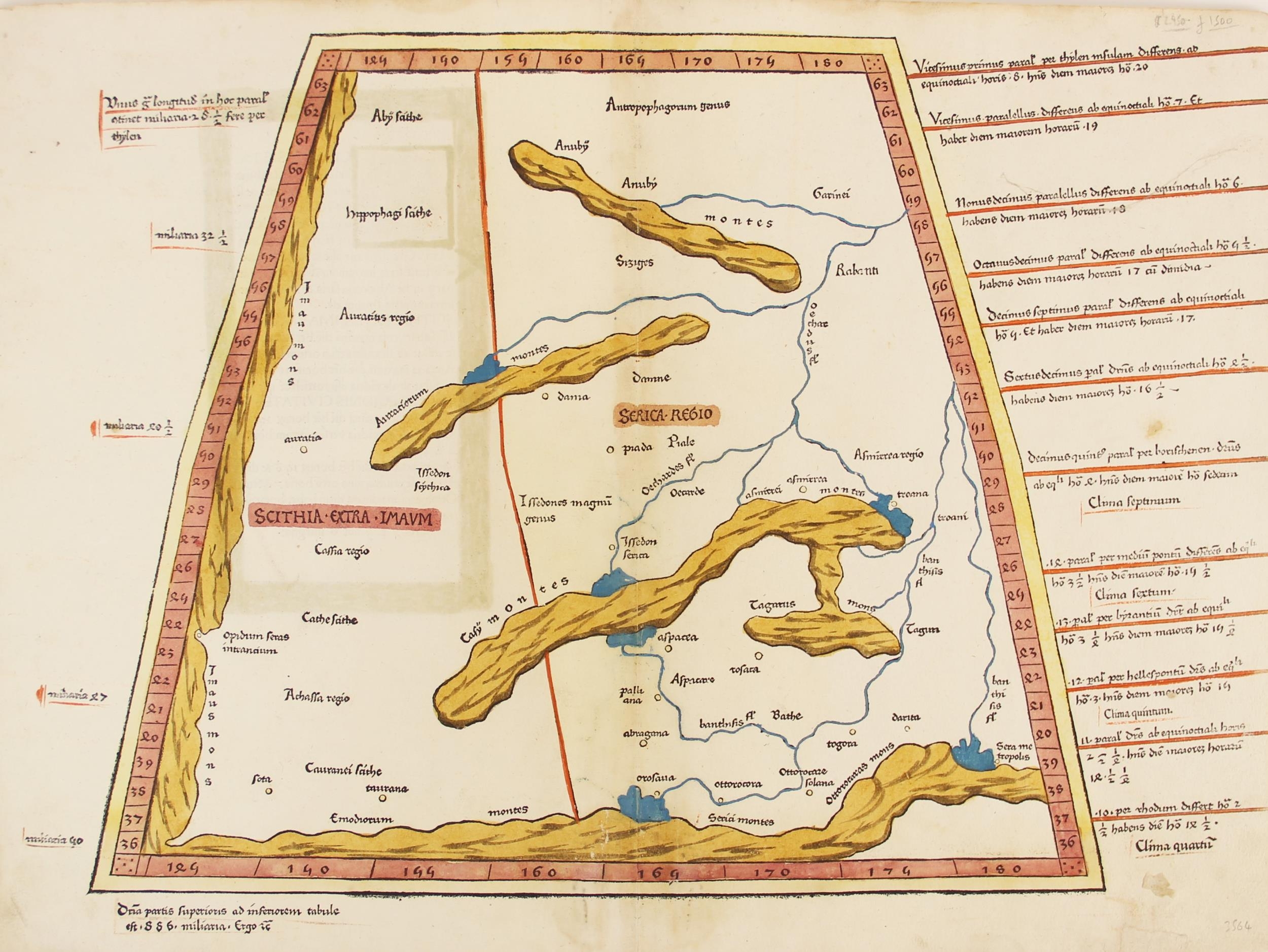
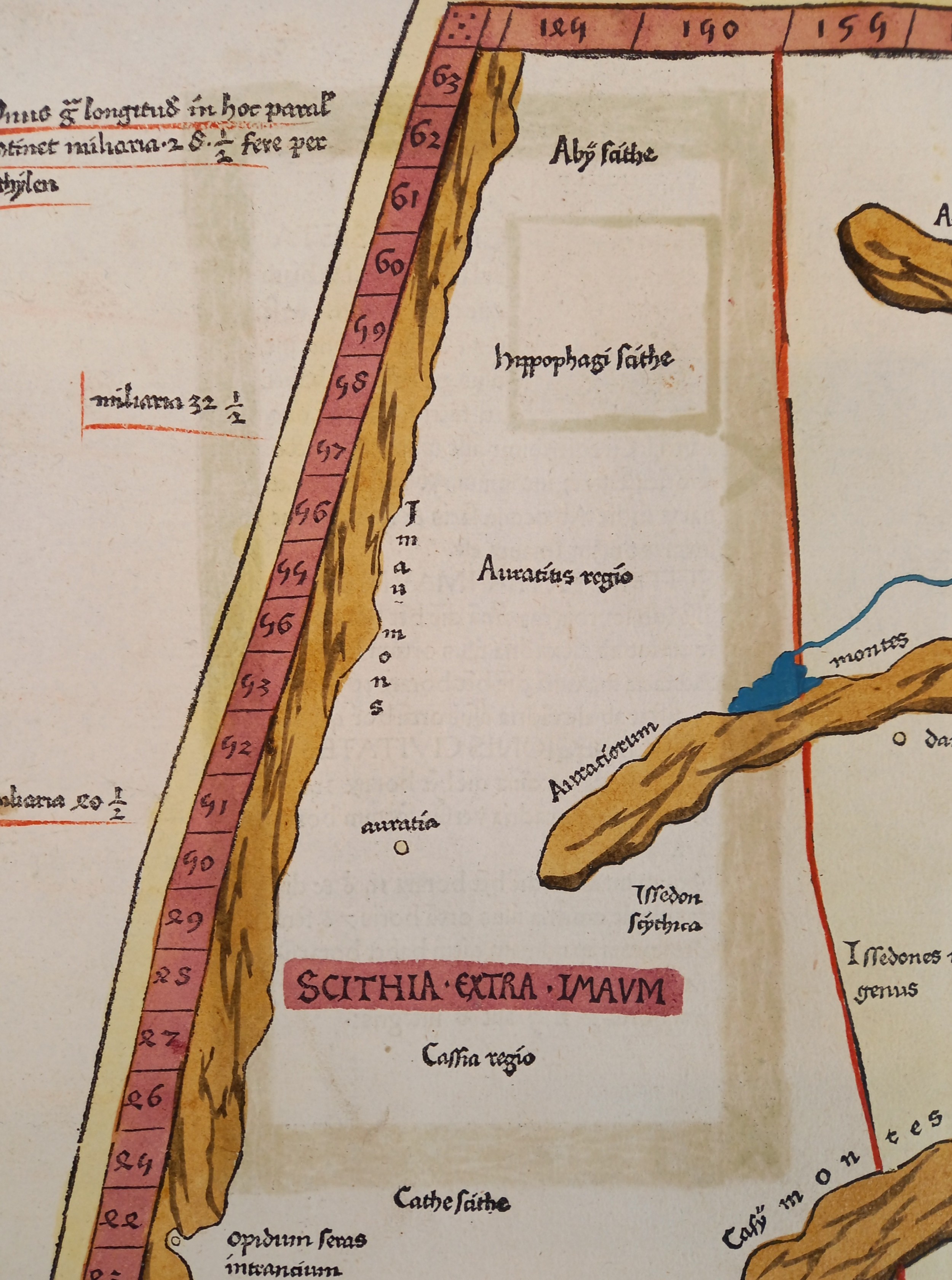
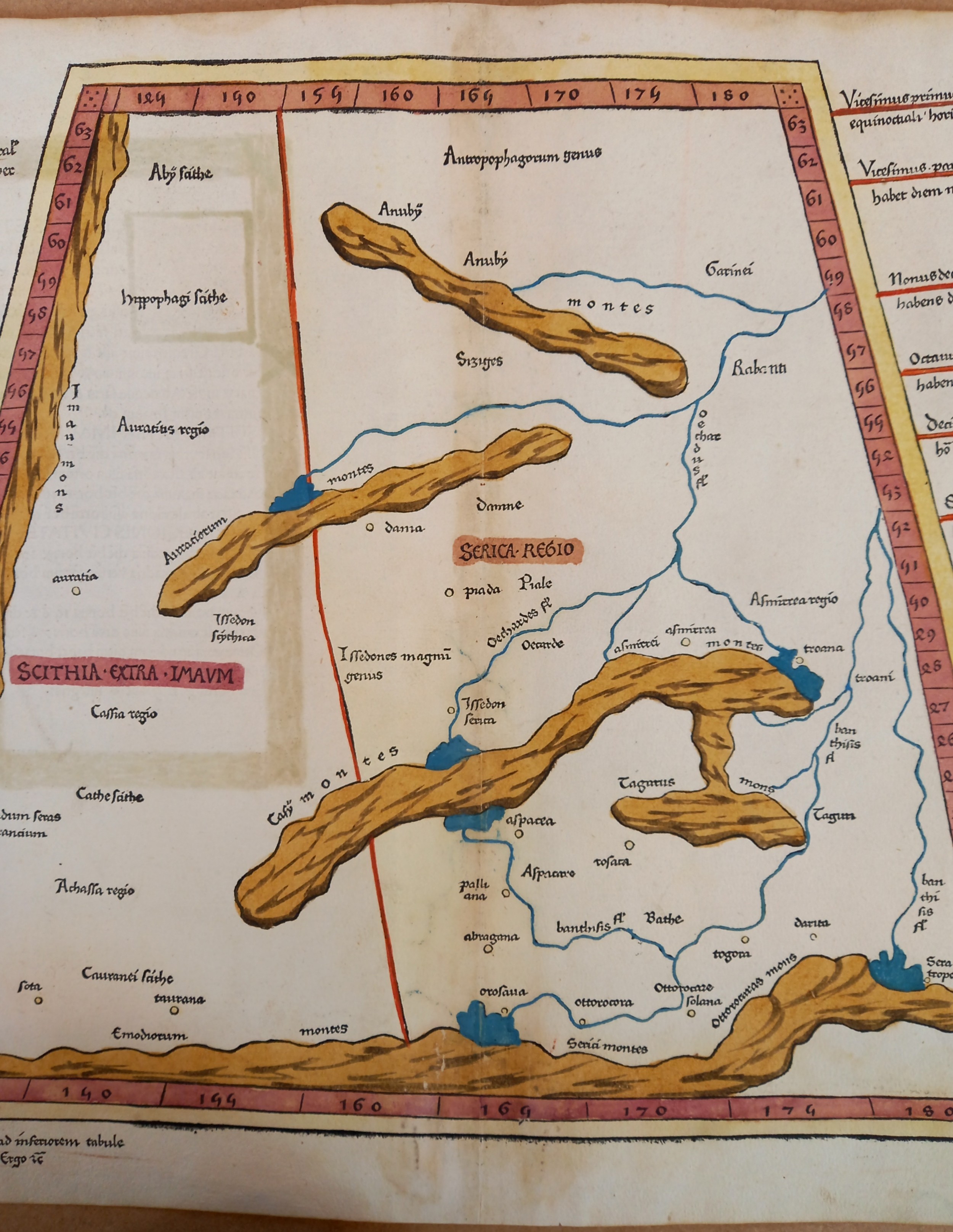
A hand coloured woodcut Ptolemaic map of Central Asia north ...
Hammer
£650
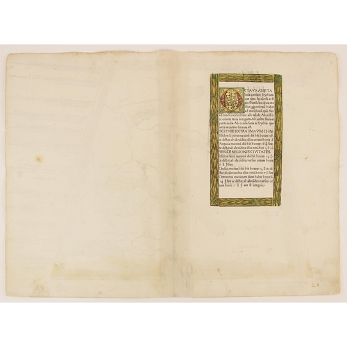
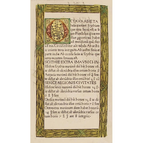
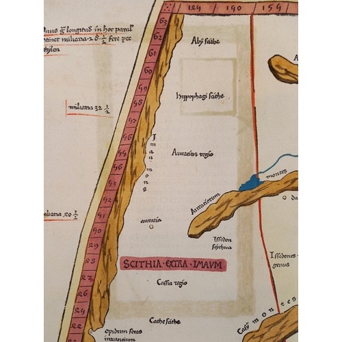
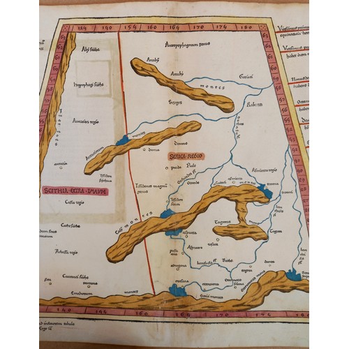
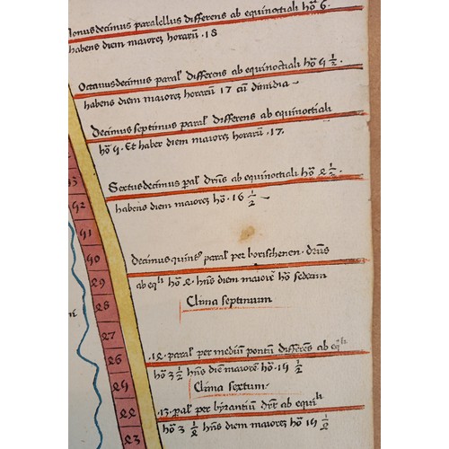
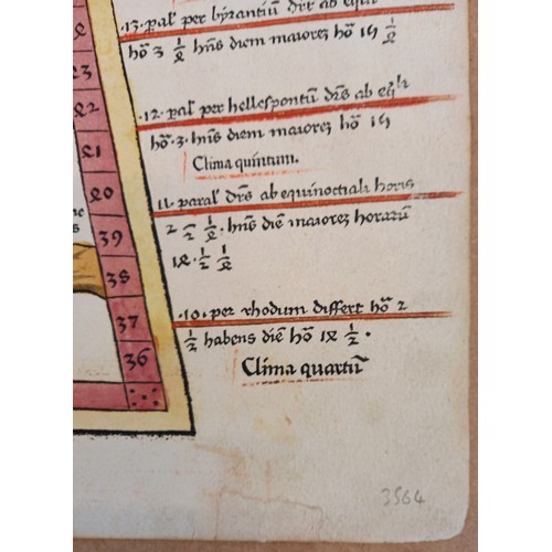
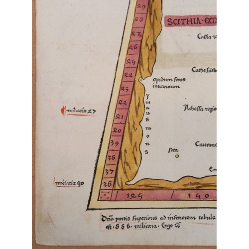
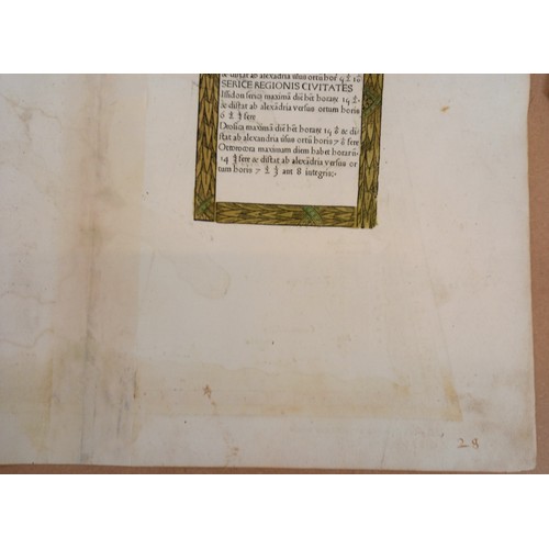
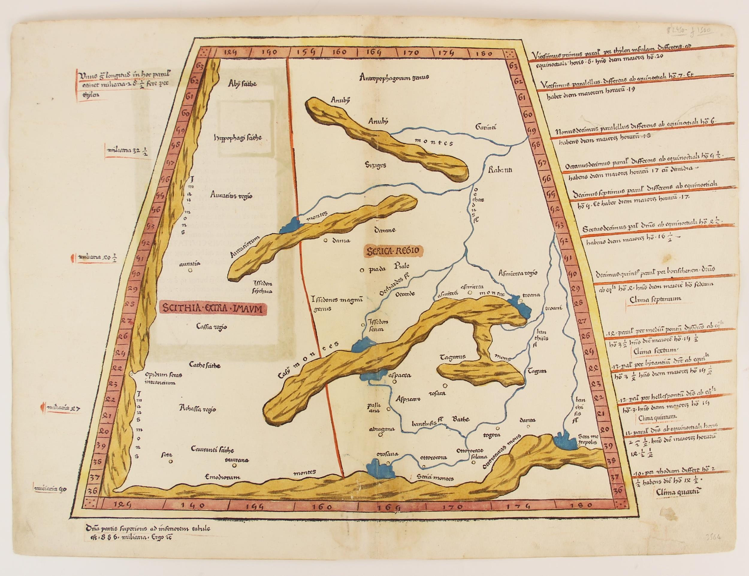
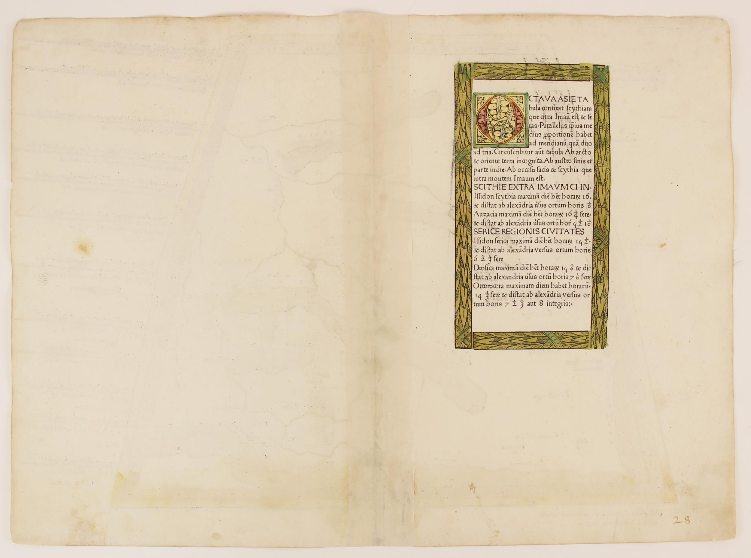
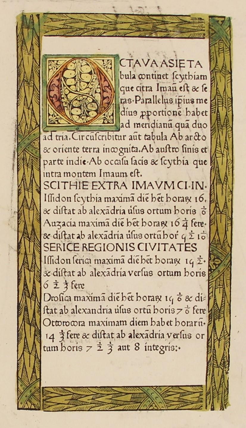
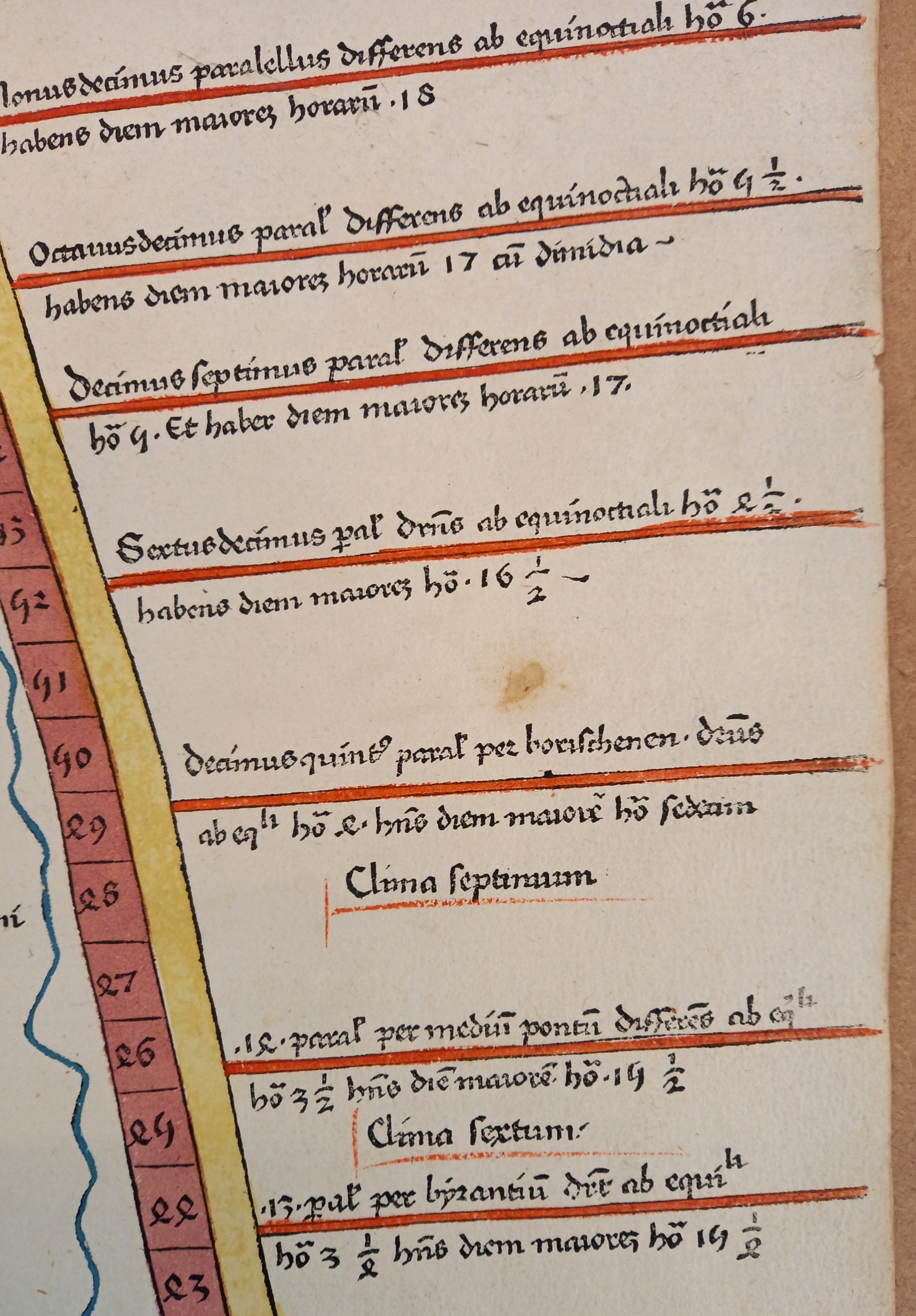
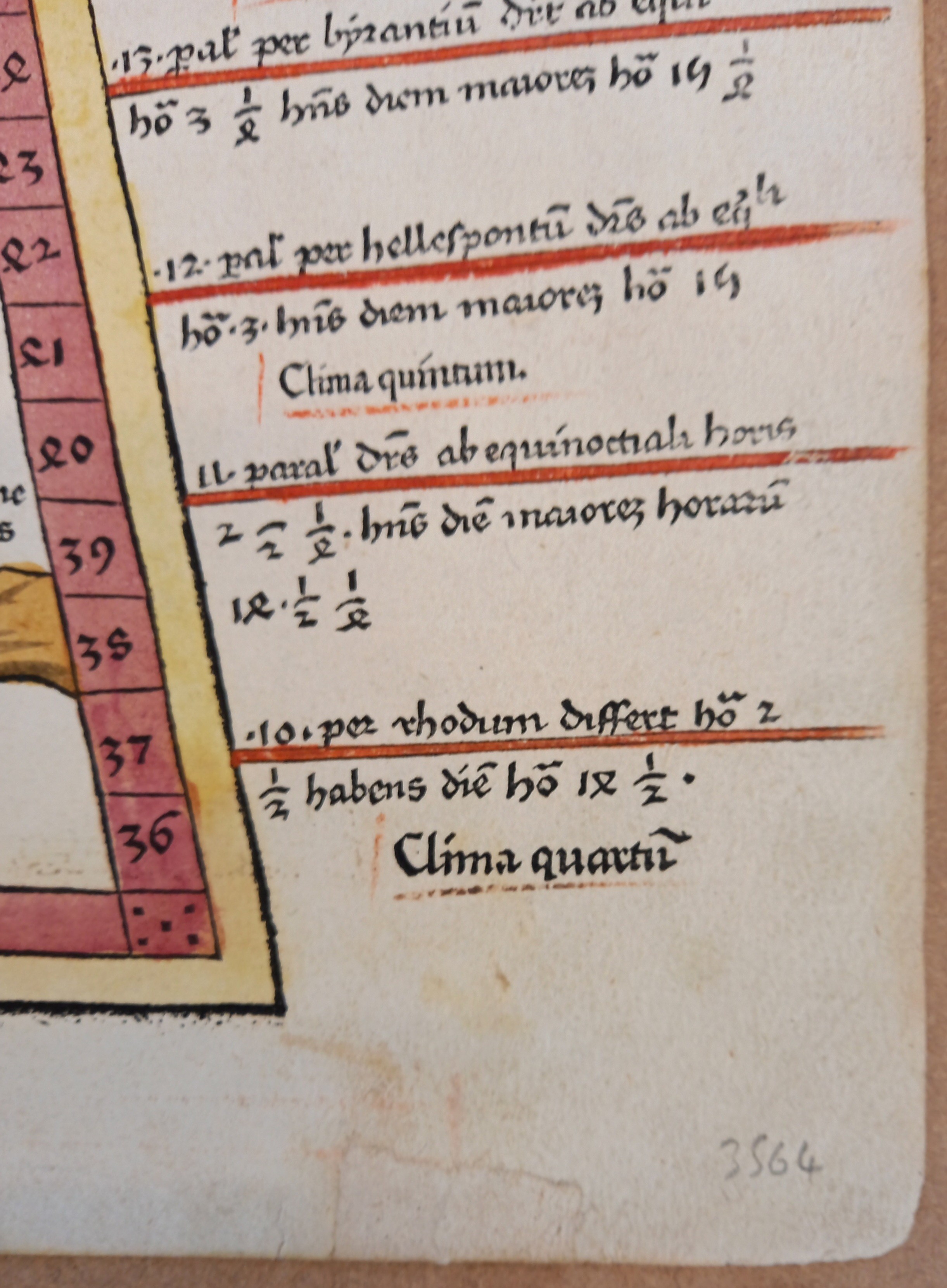
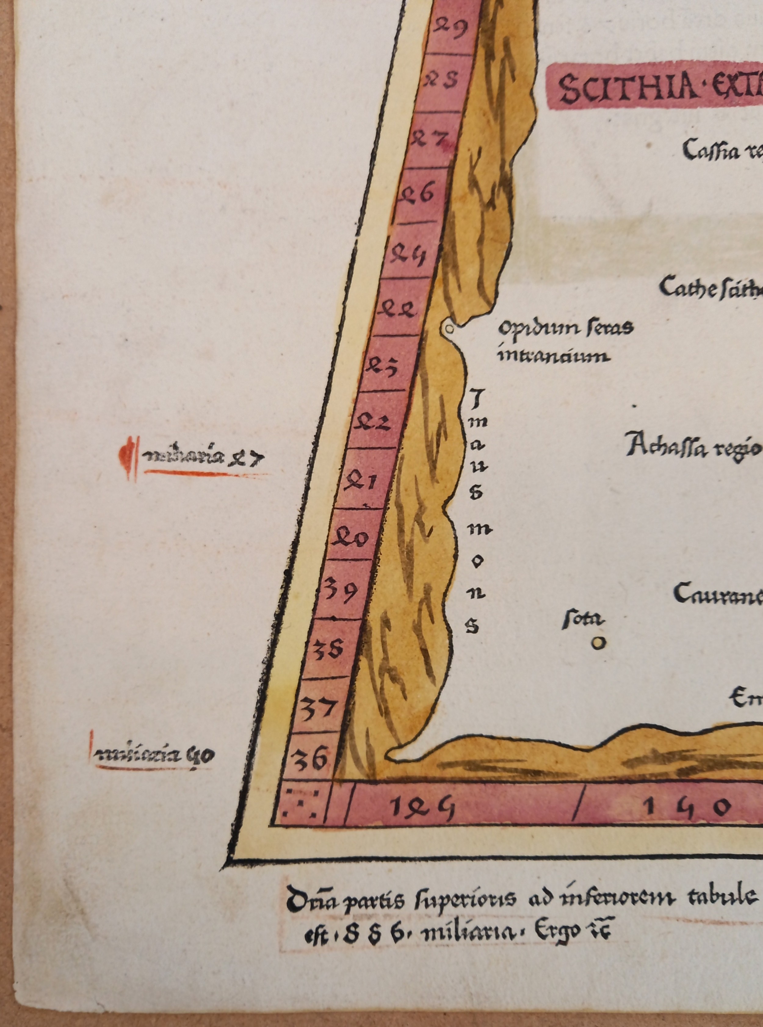
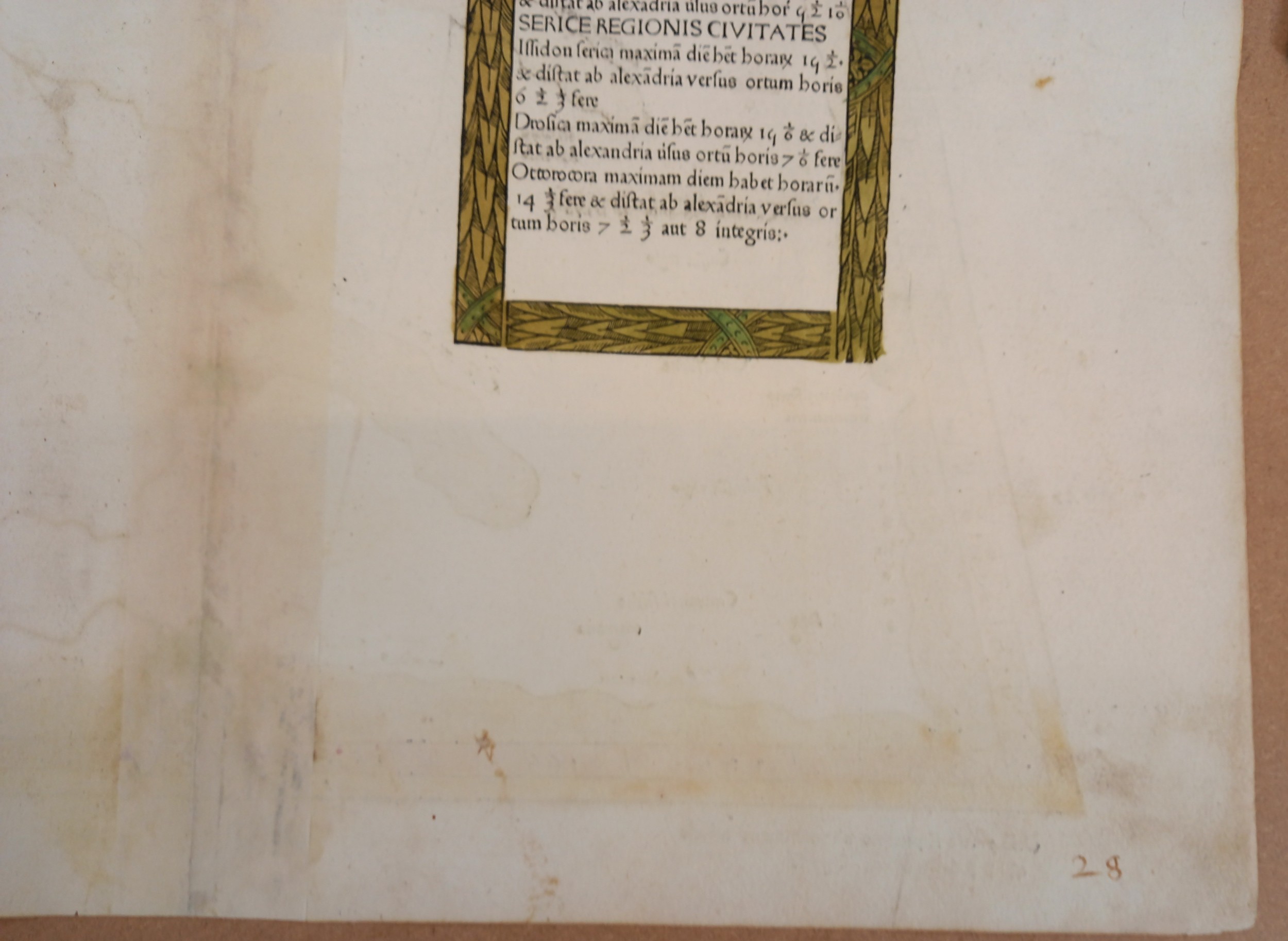
A hand coloured woodcut Ptolemaic map of Central Asia north of the Himalayas, early 16th century, divided into "Scithia Extra Imaum" [Scythia Outside Imaum, home to the nomadic Scythian people] and "Serica Regio" [Silk Region], with a reference to "Antropophagorum" [cannibals] in the north, and "hippophagi" [horse eaters] in the northwest, climate notes down the right hand side, illuminated Latin text verso, probably published for a Lorenz Fries edition of "Geographia" (editions published in 1522, 1525, 1535 and 1541), 42cm x 57cm, unframed
More Information
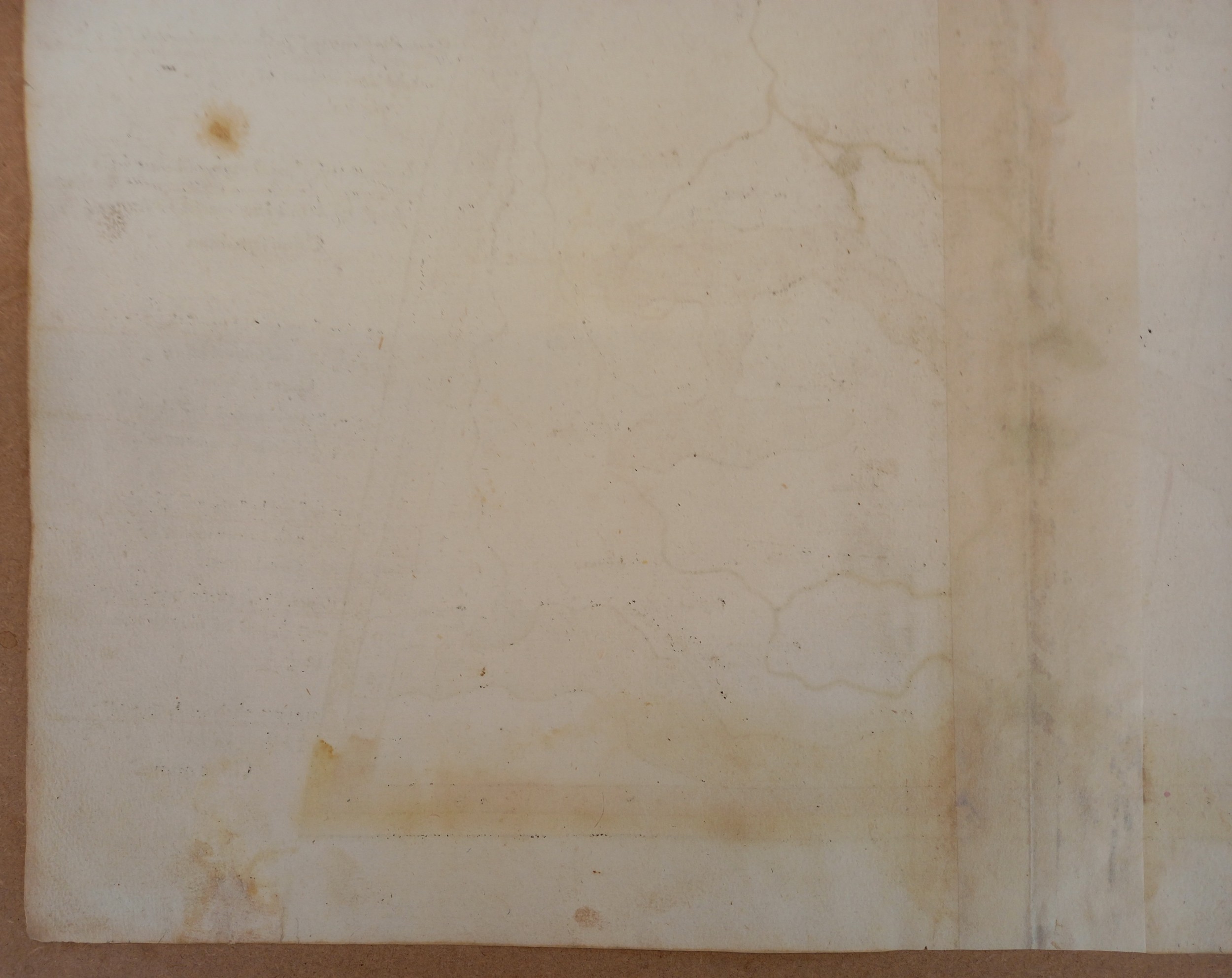
The map side shows bleed-through from the illuminated border and capital of the Latin panel verso, and further stain-through from the reinforcing strip applied verso. There is a repair to the lower right corner of the paper, and soft pencil inscriptions to the top right and bottom right corners. There is a fox mark approximately halfway down the right side of the paper, with further foxing, stain marks and areas of dirt across the paper, but most noticeably to the lower lower left and right corners. The reverse of the paper is in a similar condition.
Fees apply to the hammer price:
Room and Absentee Bids:
20% inc VAT*
Online and Autobids:
22.4% inc VAT*
Please see the auctioneers terms & conditions for more information
Other Lots in this Auction
Tel: 01948 800 202
The Joyce Building, Whitchurch, Shropshire, SY13 1RE.
© Trevanion & Dean Auctioneers, inc. All rights reserved.